River
Narmada
The Narmada rises at Amarkantak and flows west through a rift valley between the Vindhya and Satpura ranges to the Gulf of Khambhat.
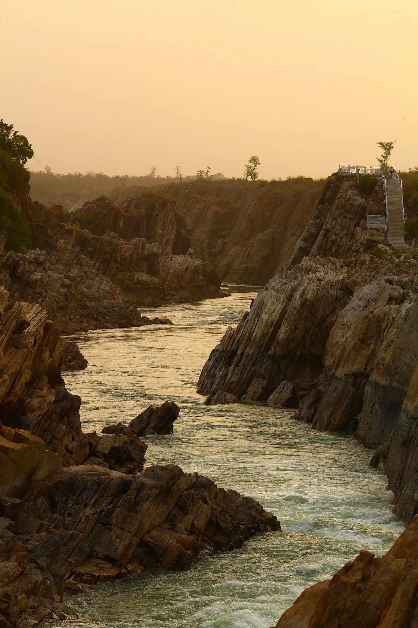
The Narmada begins at Amarkantak in the Maikal hills of Madhya Pradesh and does something unusual for a large Indian river: it flows west, not east. For most of its course it runs through a rift valley between the Vindhya range to the north and the Satpura range to the south, before entering Gujarat and widening into an estuary at the Gulf of Khambhat.
Some of India's most spectacular river scenery lies along the Narmada. At Bhedaghat near Jabalpur the river has carved a gorge through gleaming white marble cliffs and plunges over the Dhuandhar Falls. Further west, the temple town of Omkareshwar sits on an island shaped, devotees say, like the sacred syllable "Om".
The river is a lifeline for central and western India and is the site of large dams, including the Sardar Sarovar in Gujarat, near which stands the Statue of Unity. Devotees undertake the Narmada parikrama, a long pilgrimage walking along both banks from source to sea and back.
Tributaries
Tawa, Burhner, Banjar, Hiran, Orsang